This Route 66 map has all of the original alignments color coded. Also called The Mother Road, these routes are historical parts of old U.S. Highway 66. They may no longer be accessible, drivable or visible. Some are now on private property. Those alignments now part of or under an Interstate are not drawn. Hit the box in the upper right hand corner to see the map in a full screen view. In the upper left hand corner you can also select Terrain or Satellite views. If you find any errors you can report them to corrections(at)route66-map(dot)com. If possible, site any reliable source for making the correction.
Flexible map shortcode
Color codes for alignments on Route 66 map:
Red = oldest alignments. 20’s – 30’s
Brown = 30’s – 40’s
Green = 40’s – 50’s
These dates are approximate because Route 66 was continually being moved, re-routed, improved and changed. But it will help you understand in which order the alignments were made.
This Route 66 map shows most of the alignments that 66 followed. The last alignments were Interstates and are not drawn on the map. The lines were originally drawn using DeLorme Topo maps and then converted over to .KML format. Other software I have found very useful is RidewithGPS, GPSBabel, and GPSVisualizer.
To discuss or comment on the map or its features go to the FACEBOOK PAGE for this site. You can also contact me there directly. It would be a great help if you find this map useful to share it on social media or by email to a fiend.
It is now possible with Tracklia (Android) or Avenza Maps (Apple and Android) to carry the above map with you off line. To make a small donation ($2 suggested) for the map .kml file and to support this site just click the donate button. Paypal will email the files to you.
About our site
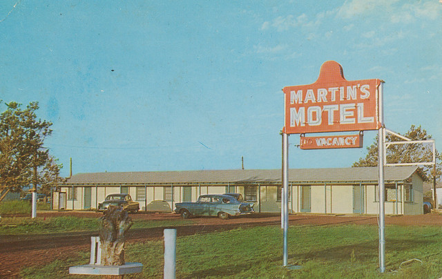
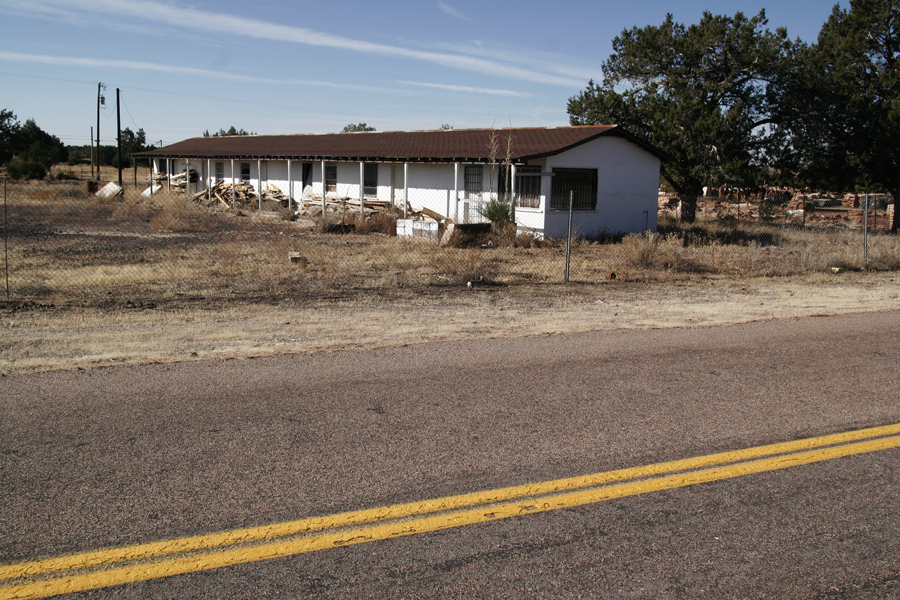
Welcome to Martin’s Motel. Warm clean rooms with new beds. No railroad tracks. Make yourself comfortable and enjoy your visit here!
I have uploaded a few of my pictures. The photo above is actually a copy of the post card available to guests of Martin’s Motel in Ash Fork AZ. More information about the motel is on the Ash Fork page. My dad, Herb Martin, built this in the 50’s. We lived in Los Angeles but made business trips during the year and extended trips in the summer. Route 66 ran right in front of it. There was no driveway, curb or shoulder to slow down or pull in. You just drove off the road onto the gravel parking area and slowed down there. It could be hazardous to slow down too much on the two lane highway!
He sold the property when I was in high school and a truck stop / cafe was built in front. It was known as the County Line Cafe. Last time through I stopped and visited with the current owner who was the same guy that bought it from my dad. Had a nice time visiting the old property which included 70+ acres bordering on a national forest. Had great times driving a Willys jeep and shooting my rifle back there as a kid.
Trivia; up until 1976 Ash Fork had no municipal water well. Most water to the town came in by rail and was distributed by tank trucks. Every building had a rain barrel and collected as much water as possible for washing and cleaning.
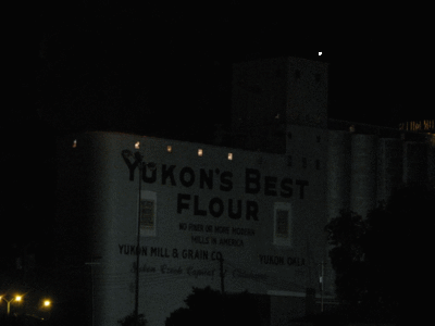
While we lived in Los Angeles, my grandparents were in Oklahoma. So we made many trips back and forth on the western half of 66. I now live in Yukon, OK and Route 66 is Main Street thru town. My youngest son lived in Alhambra, Ca just off 66 and my oldest son lived in Chicago for a couple of years. Wasn’t planned but I loved driving 66 both directions to visit the boys!
My wife and I have spent a lot of time traveling and exploring Route 66. As we travel we try to document locations by GPS and then recording on a laptop with mapping software. We also try to include notes and photos to document information about places. On this site is some of the results of our travels. We hope you enjoy the map and can use it on your own adventures.
Warm regards and happy travels on 66!
Rick and Genean Martin
Yukon, Oklahoma
(For more about Ask Fork go to the link in the menu at the top or bottom of the page.)
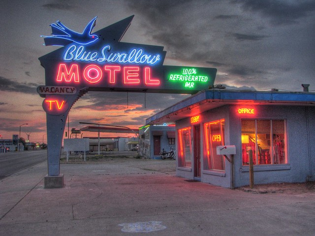
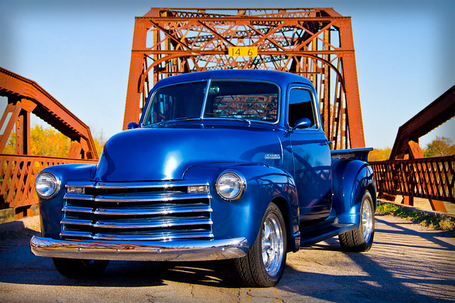
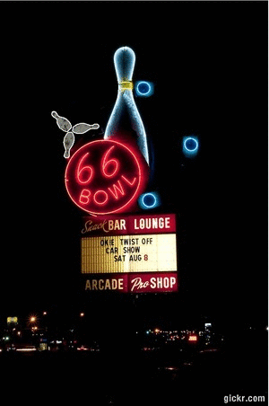
Photo Gallery
Gary Turner’s Sinclair station west of Halltown, Missouri on an old 66 alignment.
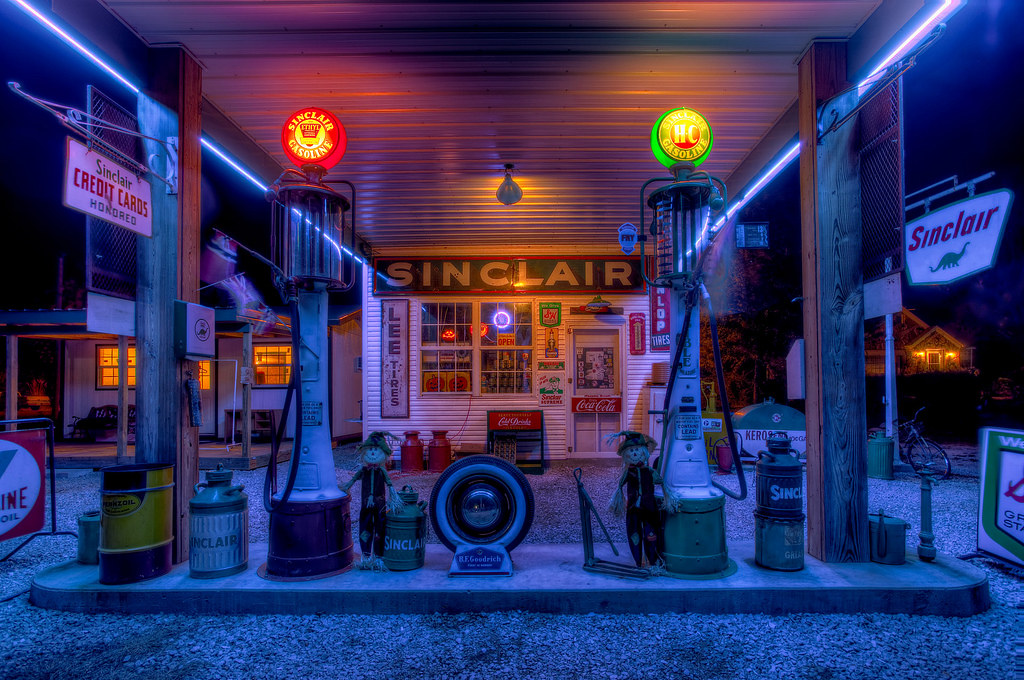
UPDATE March 2017 Sadly we lost Gary in 2015 but we stopped by and visited with Gary’s daughter Barbara. She has moved back to take over the property and keep Gary’s station going. She has everything cleaned up, stocked and ready to roll. Stop by for a visit and sign the new memory fence!
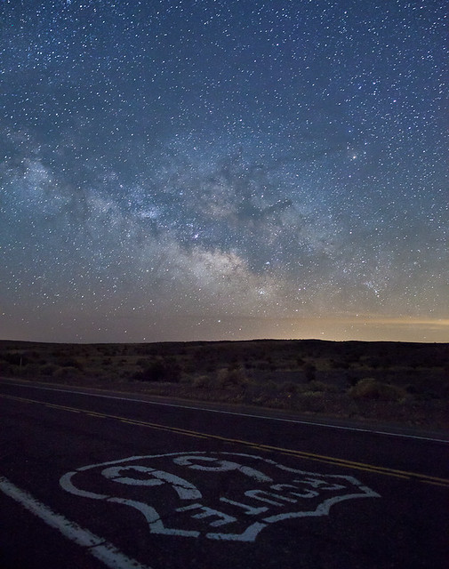
Here is another exceptional Rt 66 photo. This one was taken by Steve Vuoso near Barstow.